THE GREAT WHITE APP HAS ARRIVED
Using the Great White App
Desktop:
Double click to zoom in increments.
Mousepads: Use two fingers to zoom in and out.
Mouses: Use your mousewheel to zoom.
Click and drag to move the map.
Ctrl + click and drag for a 3D view.
Mobile & Tablet:
Double tap to zoom in increments
Pinch with two fingers to zoom in and out
Tap and drag to move the map
Press with two fingers, move up and down for a 3D view
Select a shark icon to view its information, story and track data.
How does it work?
The Great White App receives locations of sharks in real time and displays them on the map above. These locations only occur when a shark's dorsal fin, and thus the satellite tag, break the surface of the ocean and link to satellites in orbit.
How accurate are locations?
The longer the tag is above the water, the more accurate a location fix from satellites. Highly accurate locations are to within <250m while some very brief satellite fixes make locations only accurate to several kilometres which is why, at times, some shark locations may appear to be 'on the land' but it is due to lower accuracy locations, near the coast.
This is the harsh reality of trying to track marine animals which do not breathe air, and thus do not have to come to the surface.
Information at your fingertips
The long term nature of satellite tags means through time, we can gather long term, large scale information on animal movement anywhere in the world! If you really want to 'dive deep' into these tracks, try holding the Control key on your keyboard while you drag the mouse, making the map 3D!
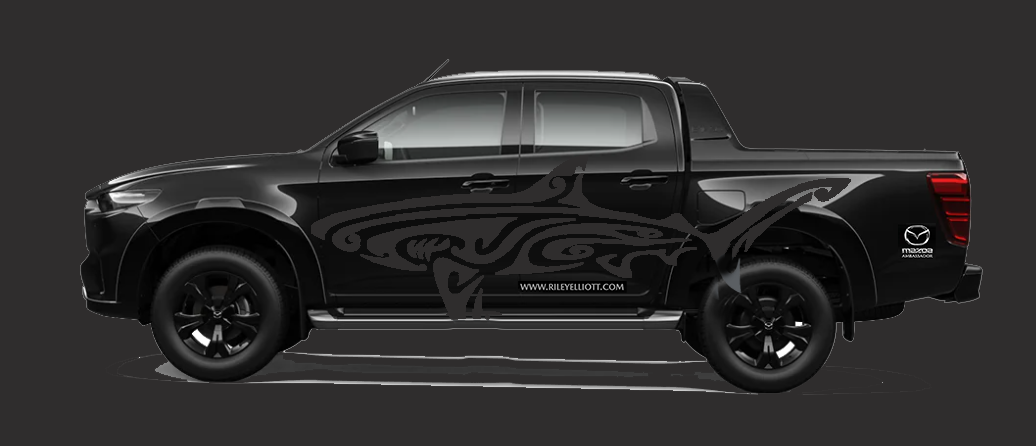
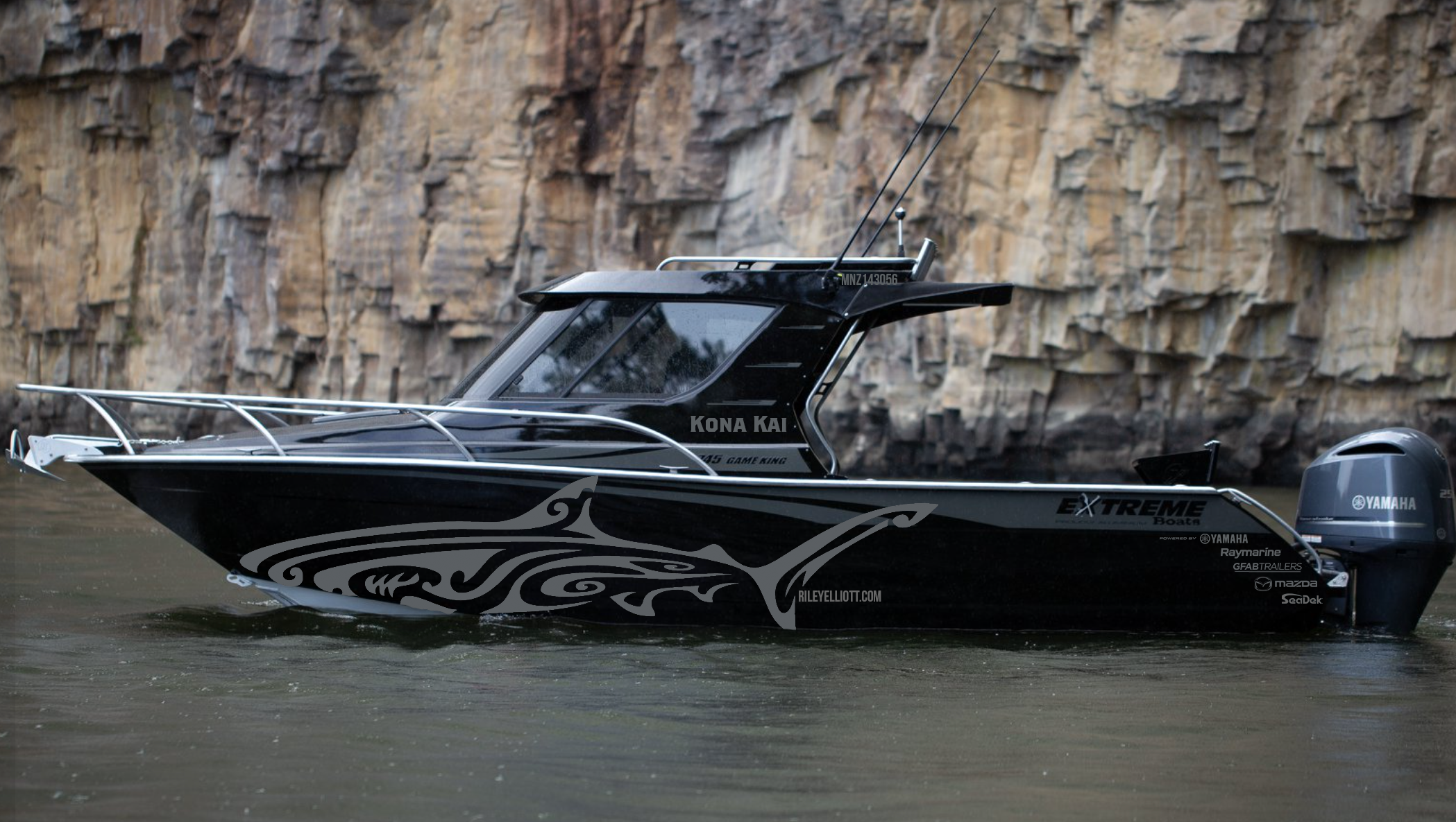
The Great White App - Made Possible by Our Sponsors: